The Geography of Water

The Geography of Water
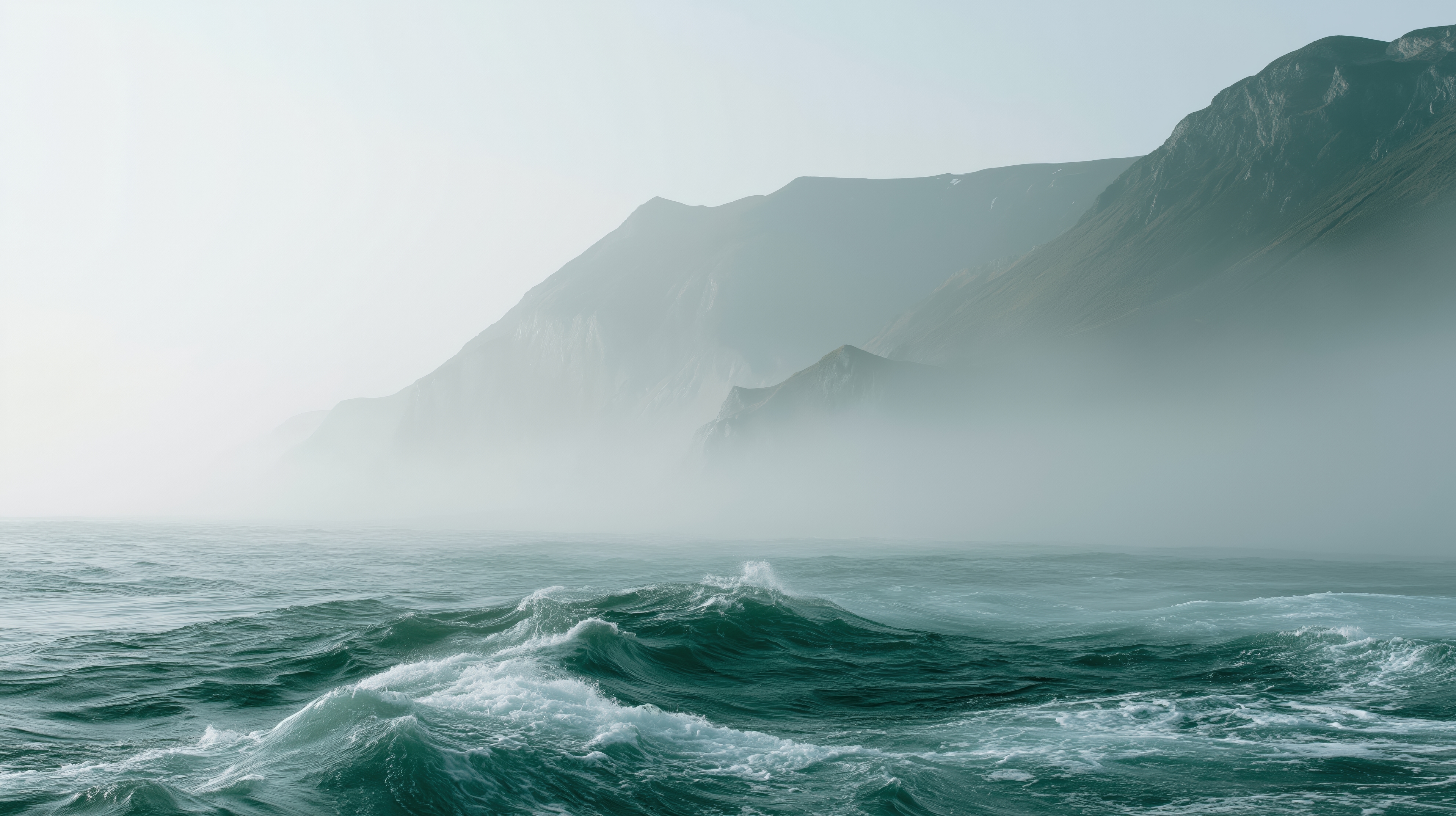
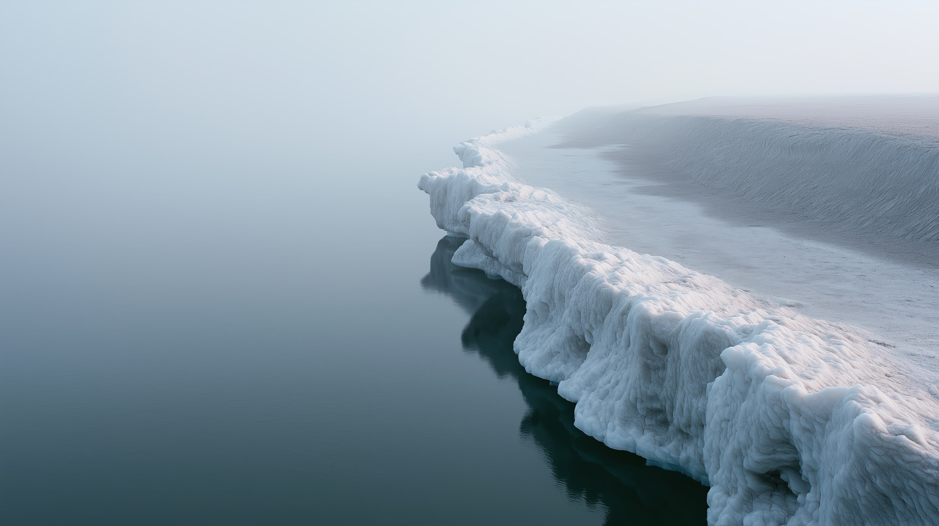
Water is one of the most versatile subjects in visual communication. It appears across industries, audiences, and formats, carrying meanings that range from sustainability and infrastructure to travel, wellness, conservation, and design. Few visual elements can adapt so easily to different contexts while remaining immediately recognizable. For brands and publishers, water provides both visual clarity and conceptual depth. Its forms are remarkably varied. A calm reservoir communicates stability and resource management. Coastal landscapes suggest exploration, openness, and connection to place. Rivers and canals introduce movement and direction. Wetlands, lakes, and tidal zones often become visual shorthand for ecology, biodiversity, and environmental stewardship. The same subject can support very different narratives depending on how it is framed. Its forms are remarkably varied.
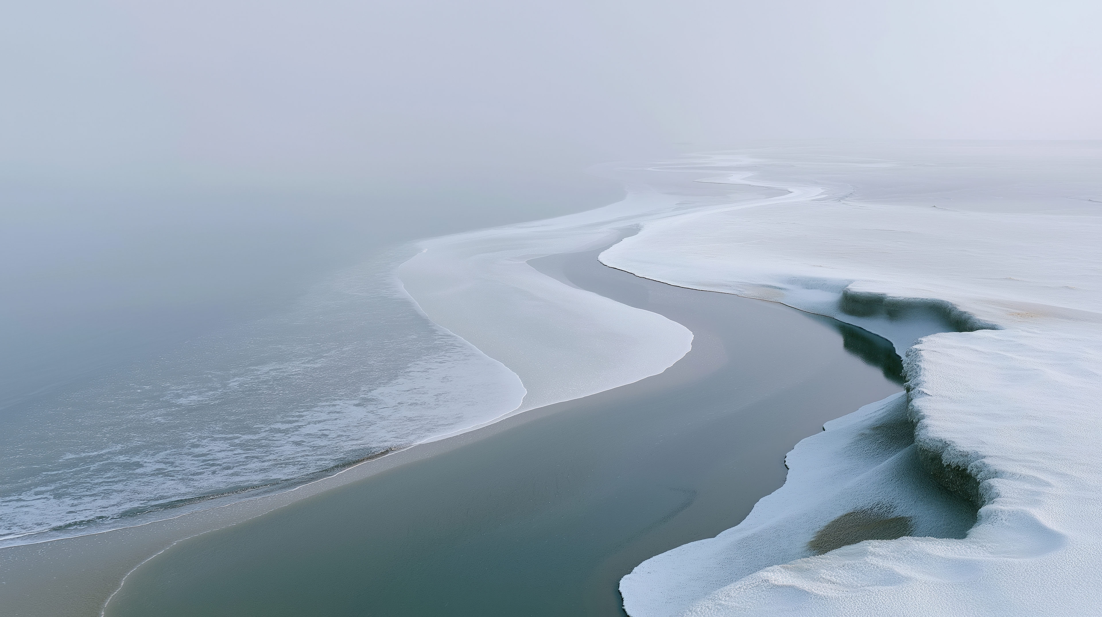
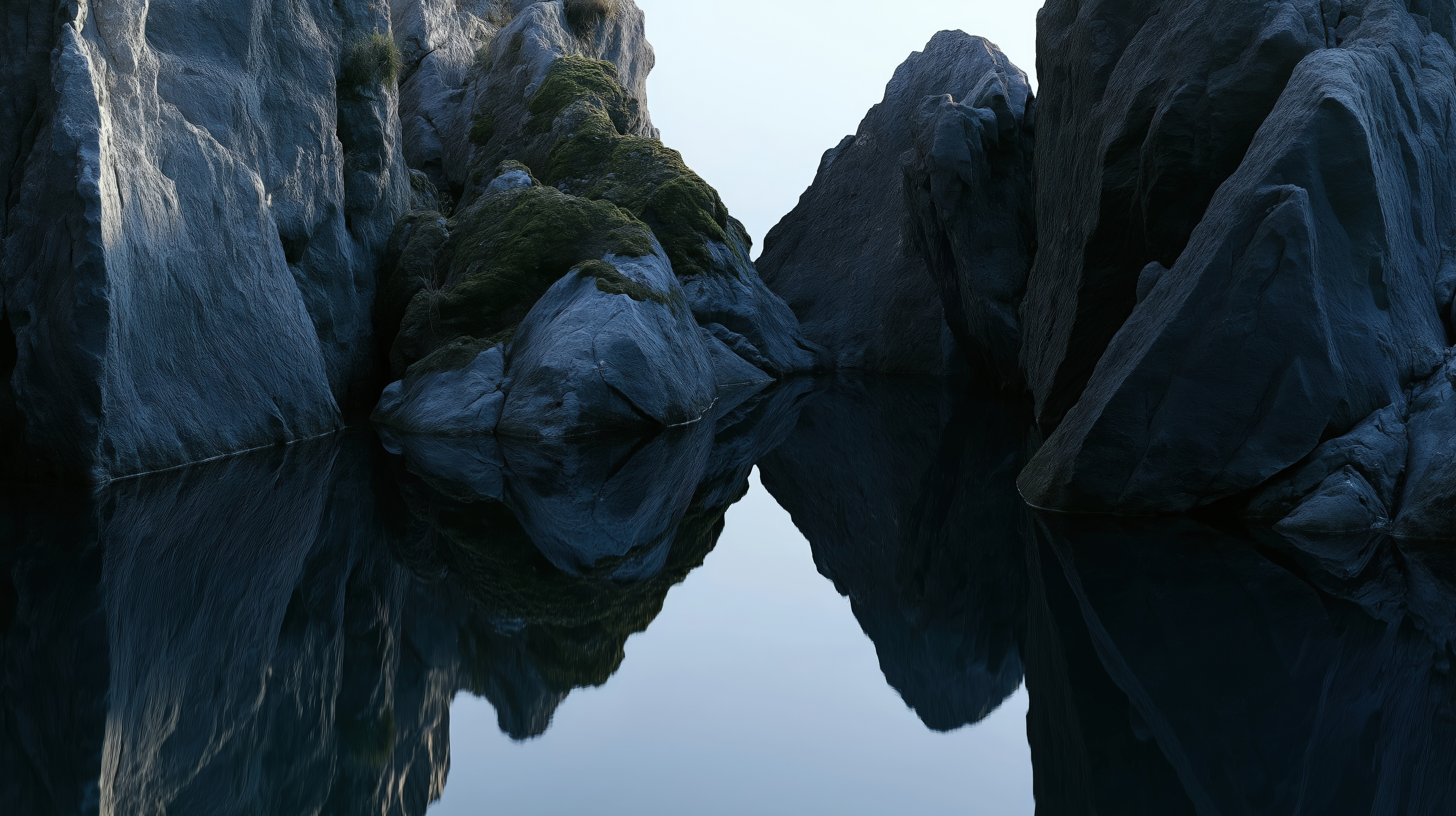
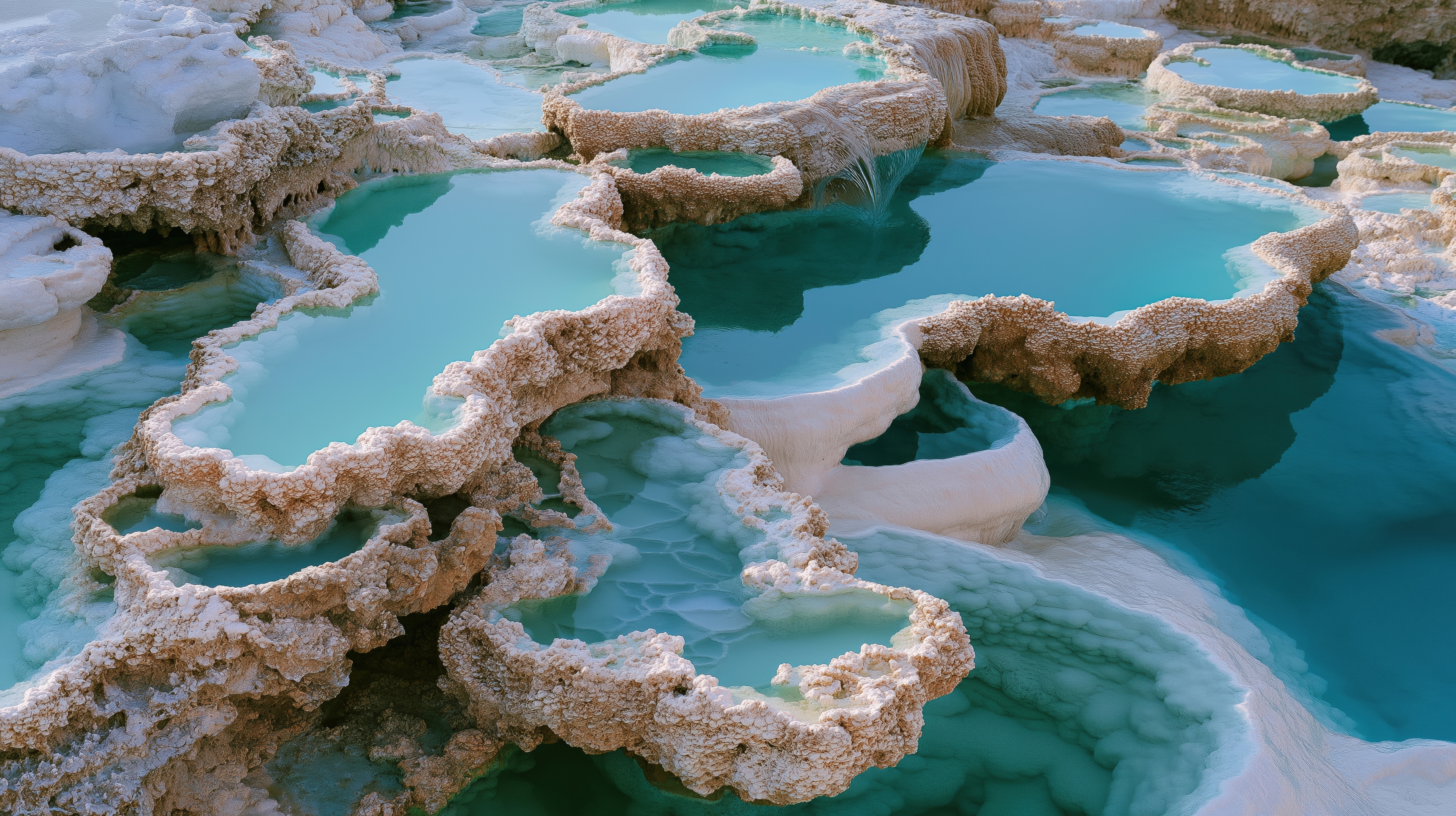
Water also plays an important role in industries that rely on environmental storytelling. Organizations working in sustainability, renewable energy, climate research, conservation, tourism, architecture, real estate, and public infrastructure frequently use water-focused imagery to communicate broader ideas about resources, resilience, and long-term planning. As environmental topics become increasingly central to public conversations, the demand for sophisticated landscape imagery continues to grow. From a design perspective, water introduces structure to an image. Shorelines create natural leading lines. Reflections add balance and symmetry. Reservoirs, canals, and coastlines establish clear spatial relationships that help guide the viewer's eye through a composition. This makes water imagery particularly effective across editorial layouts, websites, reports, presentations, and large-format displays. Aerial perspectives reveal another dimension. Salt ponds, river deltas, wetlands, and reservoirs often form patterns that resemble abstract compositions. These images work equally well as documentary photography and as visual assets for backgrounds, branding, and contemporary design projects. They provide texture and visual interest without overwhelming surrounding content.
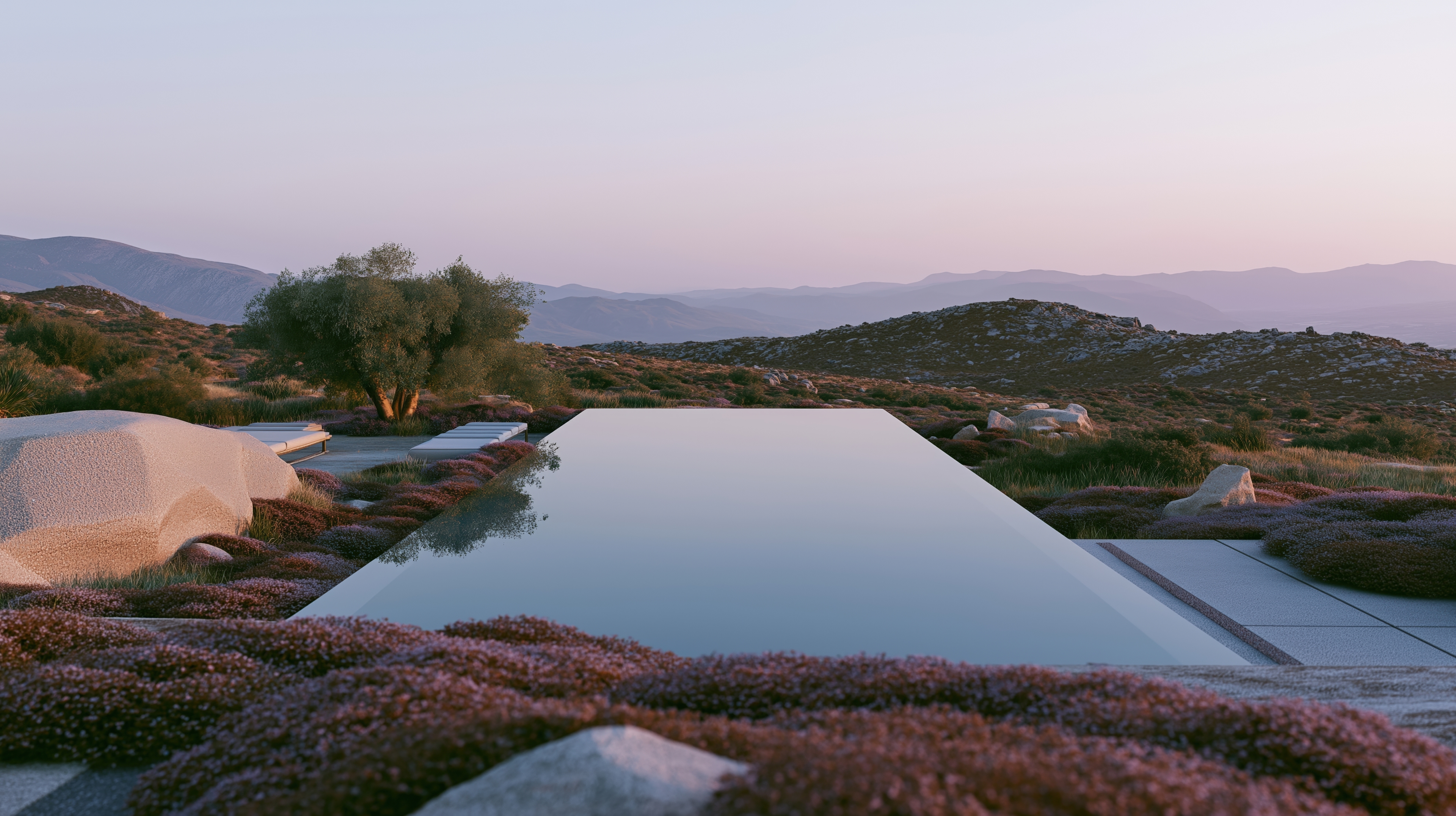
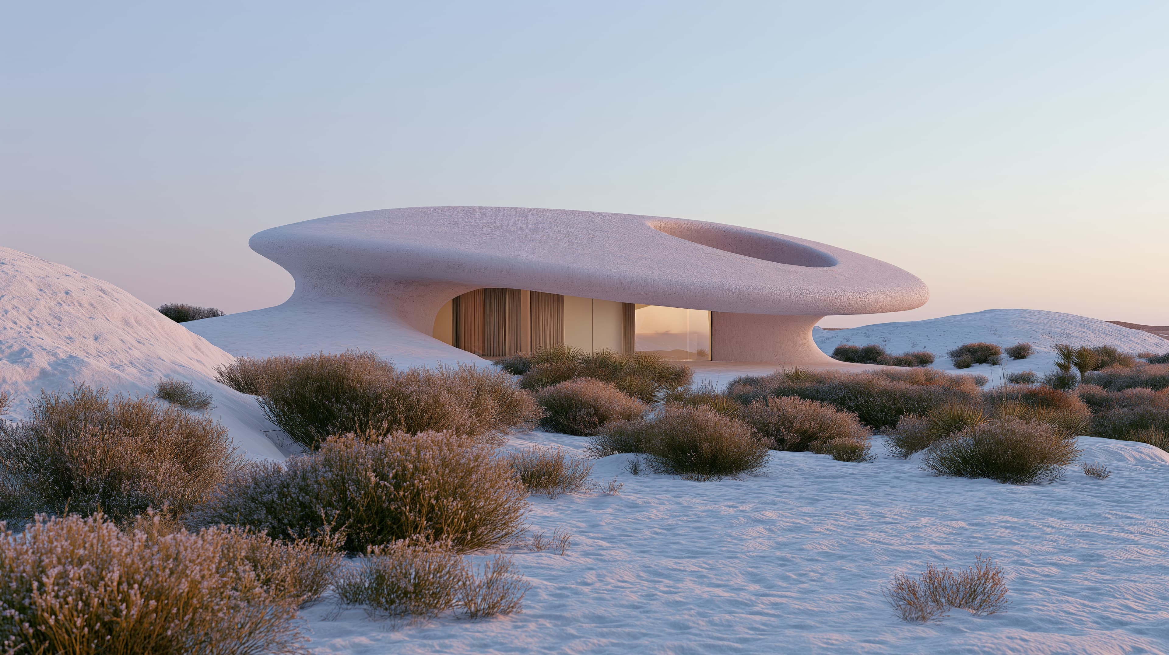
Water is equally important in architecture and placemaking. Coastal developments, waterfront residences, public promenades, harbors, observation decks, and landscape interventions frequently use water as a defining element. Images that capture these relationships help communicate concepts such as quality of life, connection to nature, thoughtful planning, and environmental integration. For architecture, hospitality, and real estate brands, these associations can be especially valuable. The strongest water imagery often extends beyond the subject itself. It captures relationships between land and water, infrastructure and landscape, natural systems and human intervention. Causeways crossing open basins, reservoirs integrated into terrain, coastal paths following the edge of a cliff, or wetlands shaped by seasonal change all tell richer stories than water alone. These environments provide context, scale, and meaning.
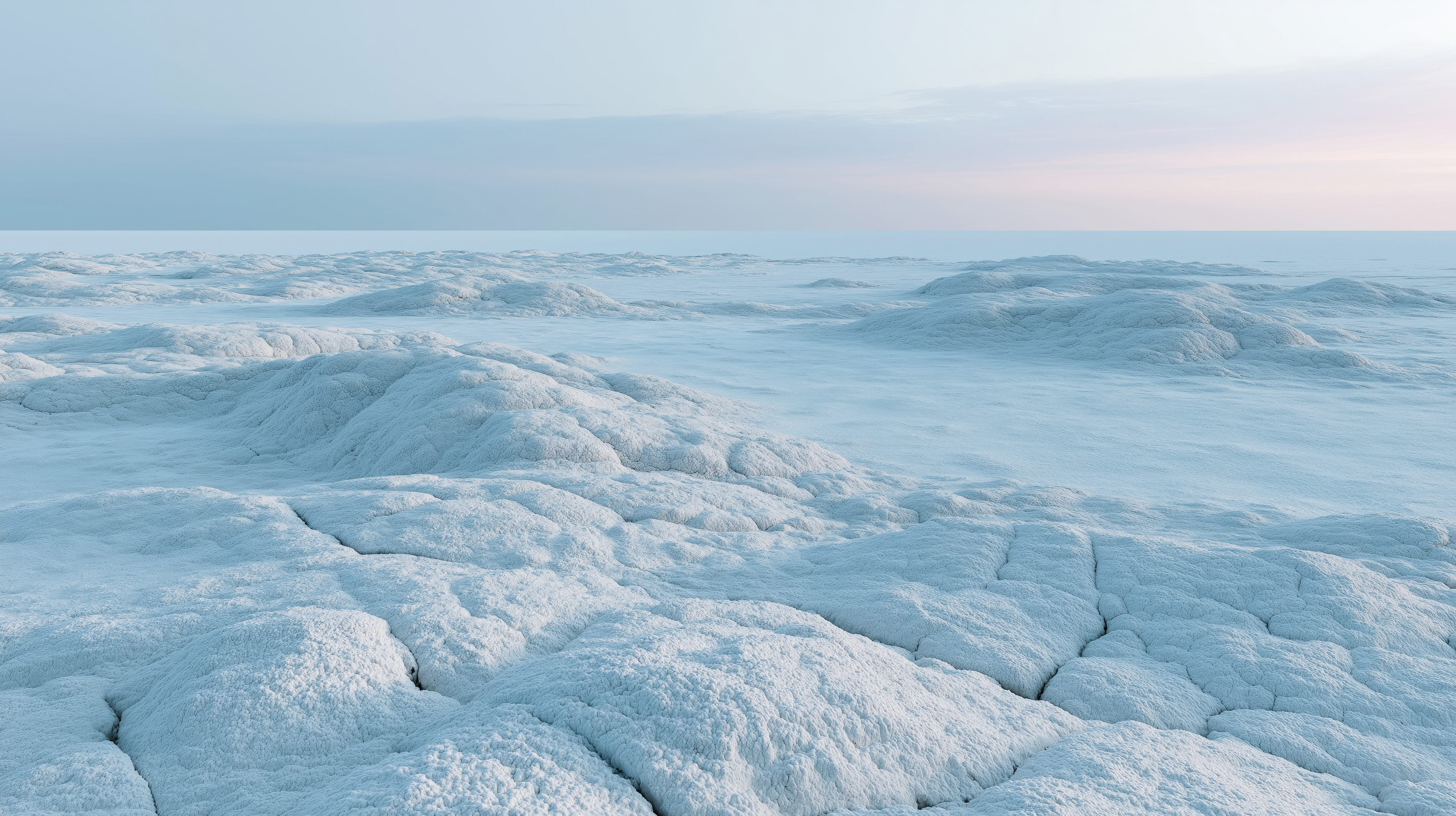
At AIvasovskiy, The Geography of Water explores water as a force that shapes landscapes, architecture, infrastructure, and place. The collection brings together coastlines, reservoirs, wetlands, tidal formations, canals, and reflective basins — stock images designed for editorial, commercial, and creative use. Because water touches so many aspects of the built and natural world, it remains one of the most enduring and adaptable subjects in contemporary visual storytelling.